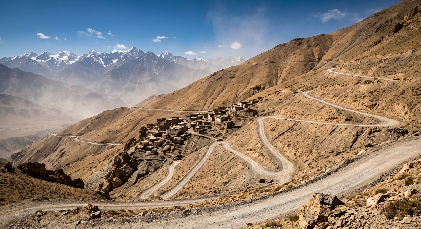
The drive from Marrakech into the mountains is about three hours. Somewhere in the second hour, your connection stops being reliable.
Almost everyone who spends a week in Marrakech goes into the Atlas for at least a day, and it is the right decision. It is also the point at which connectivity changes from a non-issue to something worth having thought about, and the transition happens gradually enough that people do not notice until it matters.
In the city
Marrakech is well covered. The medina, Gueliz, the airport and the areas visitors move through all work without any thought. The same is true of Casablanca, Rabat, Fez and the coastal towns.
The one urban quirk worth knowing is the medina itself: the alleys are narrow and the walls are thick, and while you will almost always have signal, GPS accuracy degrades noticeably. Navigation apps will show you on the wrong lane of the souk with some confidence. That is a positioning problem rather than a data problem, and no plan fixes it.
The road out
Coverage holds along the main road for a good while. Through the foothills and the larger valley settlements it is generally fine. As the road climbs toward the Tizi n'Tichka pass and the villages become smaller and further apart, it becomes intermittent, and in the deeper valleys and on the far side it can disappear entirely for stretches.
This is terrain, not a network failure. Mountains block signal, and a valley with forty people in it does not have a mast.
WHAT TO DO BEFORE YOU LEAVE MARRAKECH
Download the offline map for the whole route and the area you are going to, not just the destination.
Screenshot the address, the contact number for wherever you are staying, and any directions you have been given. A guesthouse in a valley is often described by landmark rather than address, and that description is useless if you cannot load the message it arrived in.
Tell someone your plan. This is ordinary mountain sense rather than a connectivity tip, but it matters more when you cannot phone from halfway.
Trekking and the higher valleys
If you are walking rather than driving — Toubkal, the Ourika valley, the Ait Bougmez — assume no connection for most of it. Some ridgelines catch signal from a long way off and some valley floors have nothing at all, and the pattern is not predictable enough to plan around.
Guides and muleteers in these areas generally have local arrangements and know where signal exists. That is a better source than any coverage map.
What this means for your plan
Nothing, in terms of size. Mountain days use very little data precisely because you cannot use any. The plan you bought for the city covers the trip.
What it means practically is that the plan is not the thing that keeps you connected in the mountains — preparation is. A larger bundle does not produce signal where there is none, and anyone suggesting otherwise is selling something.
Our Morocco plans start at $15.90 and the plan page shows current sizes. For a week based in Marrakech with a mountain excursion or two, the middle of the ladder is right.
If you are staying longer
Marrakech is a common remote-work base and the arithmetic for a month is different from a week.